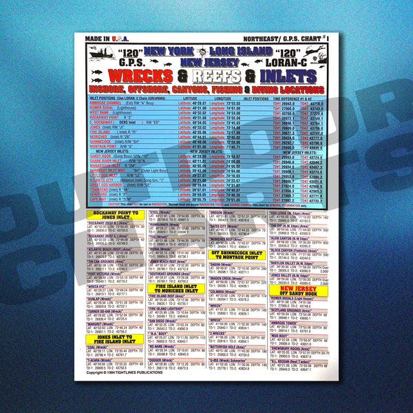
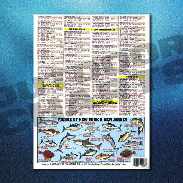
Northeast GPS & Loren-C (Wrecks, Reefs, and Inlets) New York, New Jersey, Long Island
Description
Our Northeastern United States GPS and Loren-C Chart covers coordinates for Inshore & Offshore, all canyon's locations, including all of the New York inlets from Romer Shoal's Light House, to Montauk Point Inlet and all inlets in between. This chart also features valuable fishing and diving locations for various hot spots around the greater New York area, from Sandy Hook, NJ to Rockaway Point.
Our charts are proudly 100% Made in the USA. They feature top of the line 3mm waterproof layering technology so you can bend 'em, fold 'em, and wipe 'em clean. Store them on board or in your tackle box, the options are endless. Perfect for the novice sportsman or professional. These charts are a must have reference item to add to your arsenal of equipment.
Key Features
• 100% Made in the USA
• For Novices and Pros of All Ages
• Rugged Waterproof Design
• Built to Last with 3mm Lamination
• Bend 'Em, Rough 'Em, Store 'Em Lifetime Guarantee
Sizing
All Outdoor Charts come in a convenient 8.5" x 11" design.


